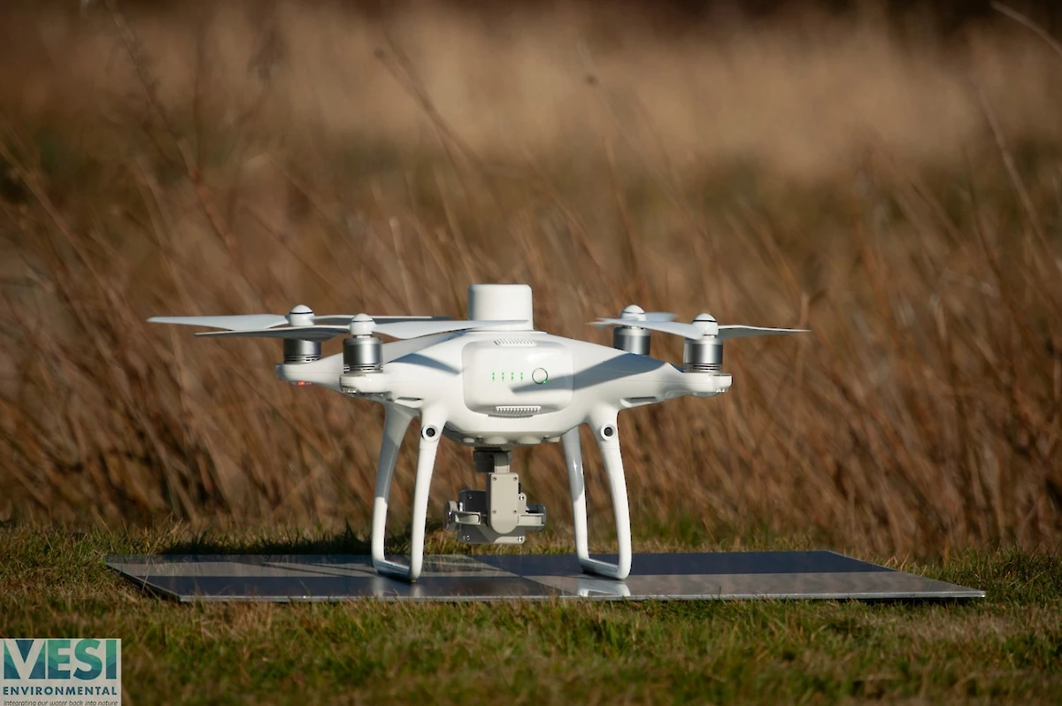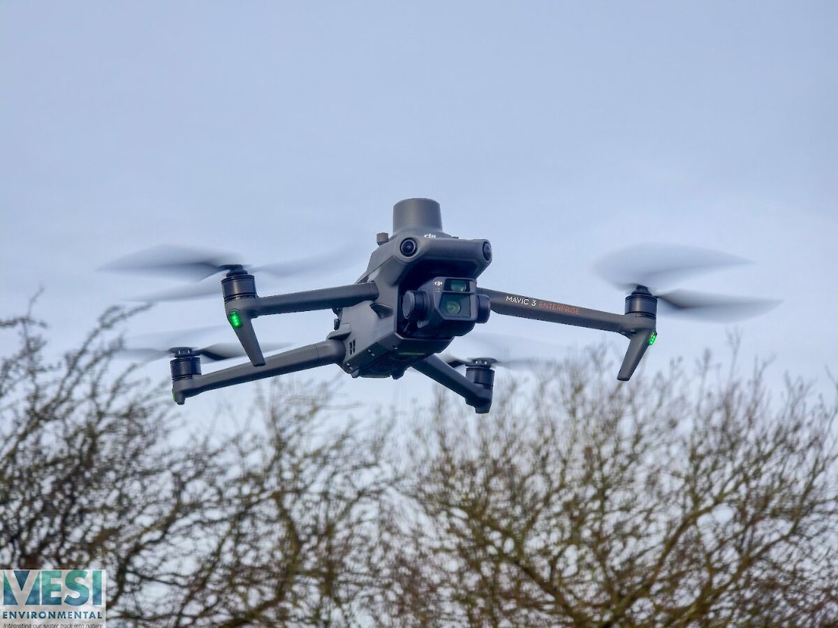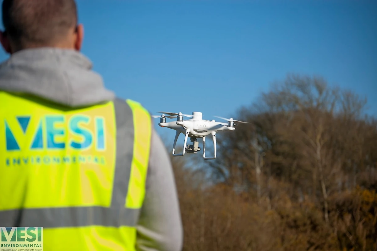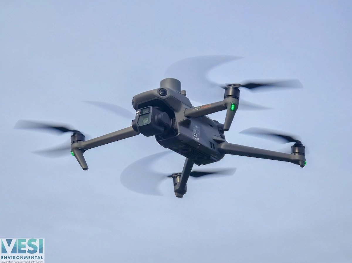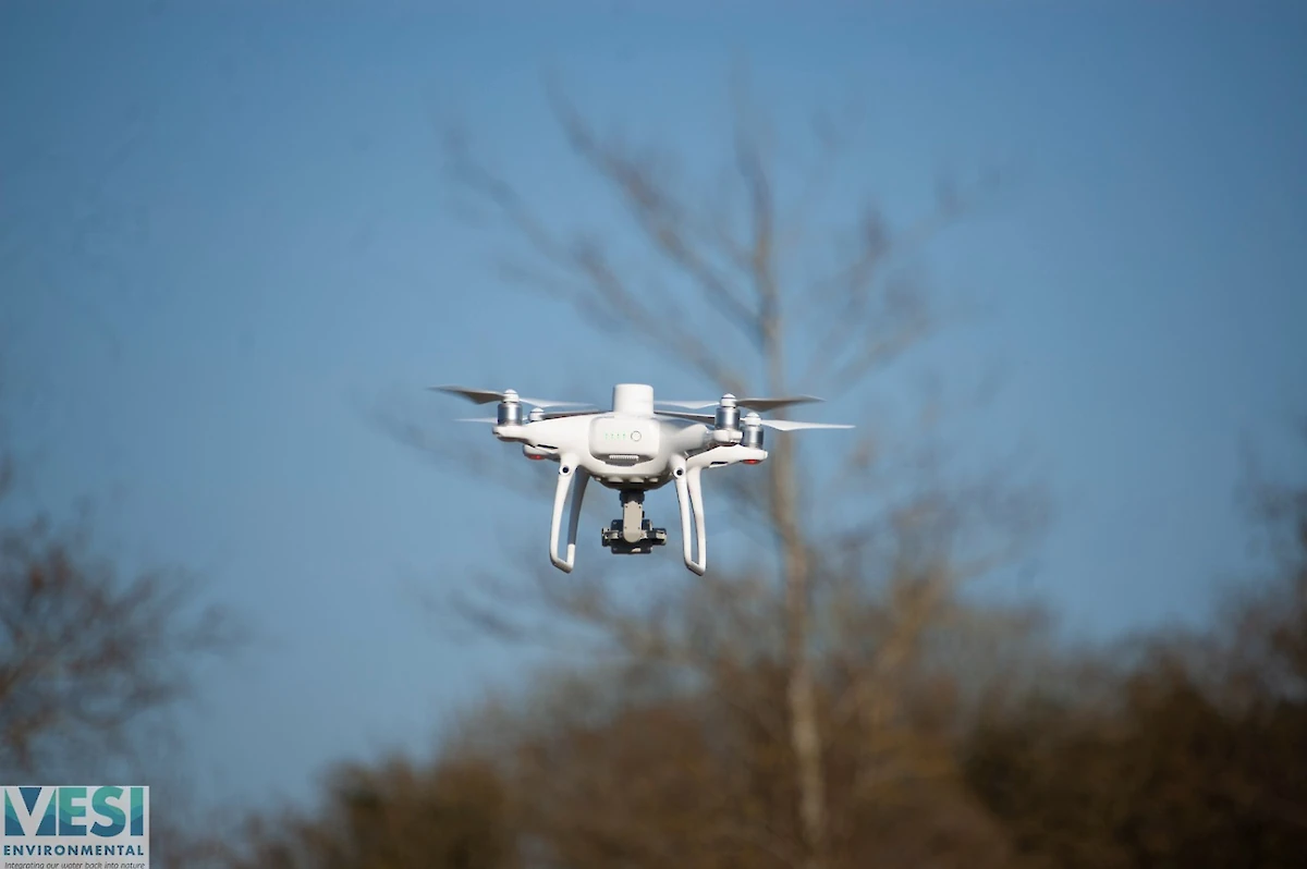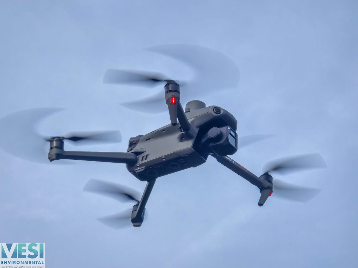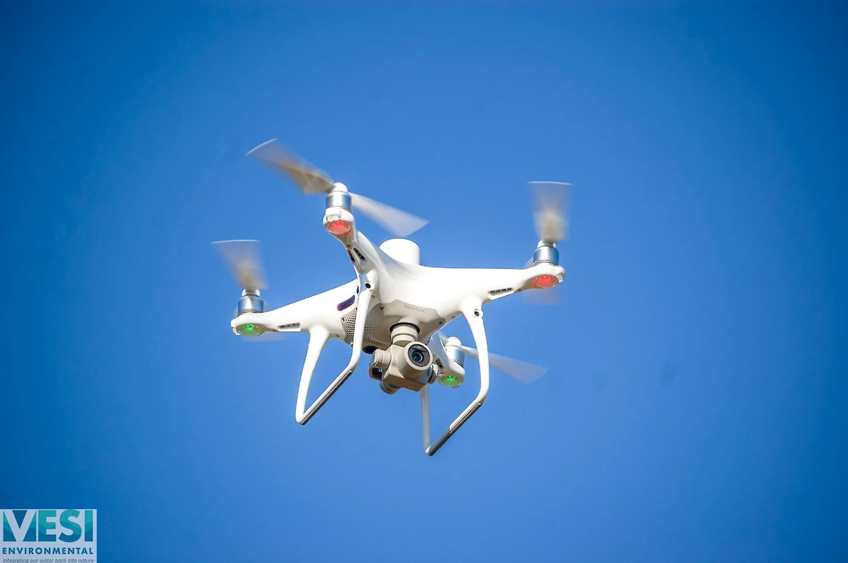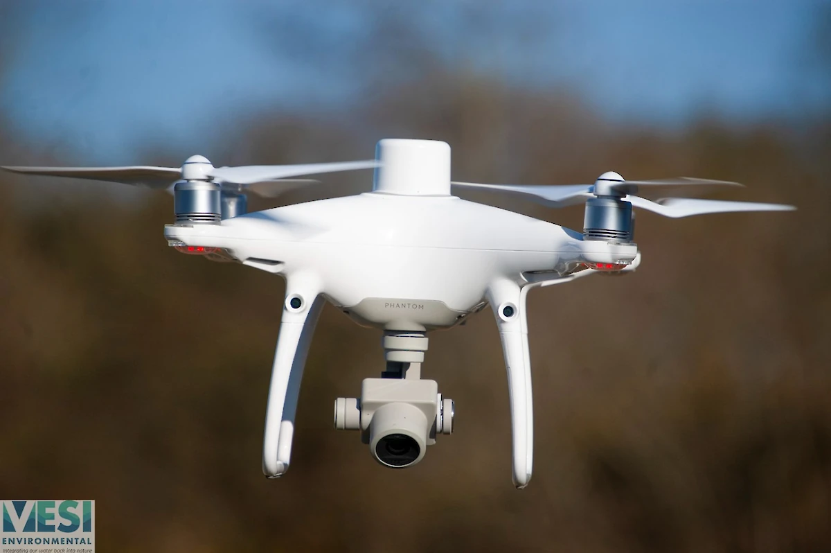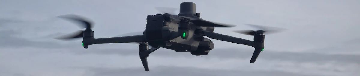
Latest Drone Technology
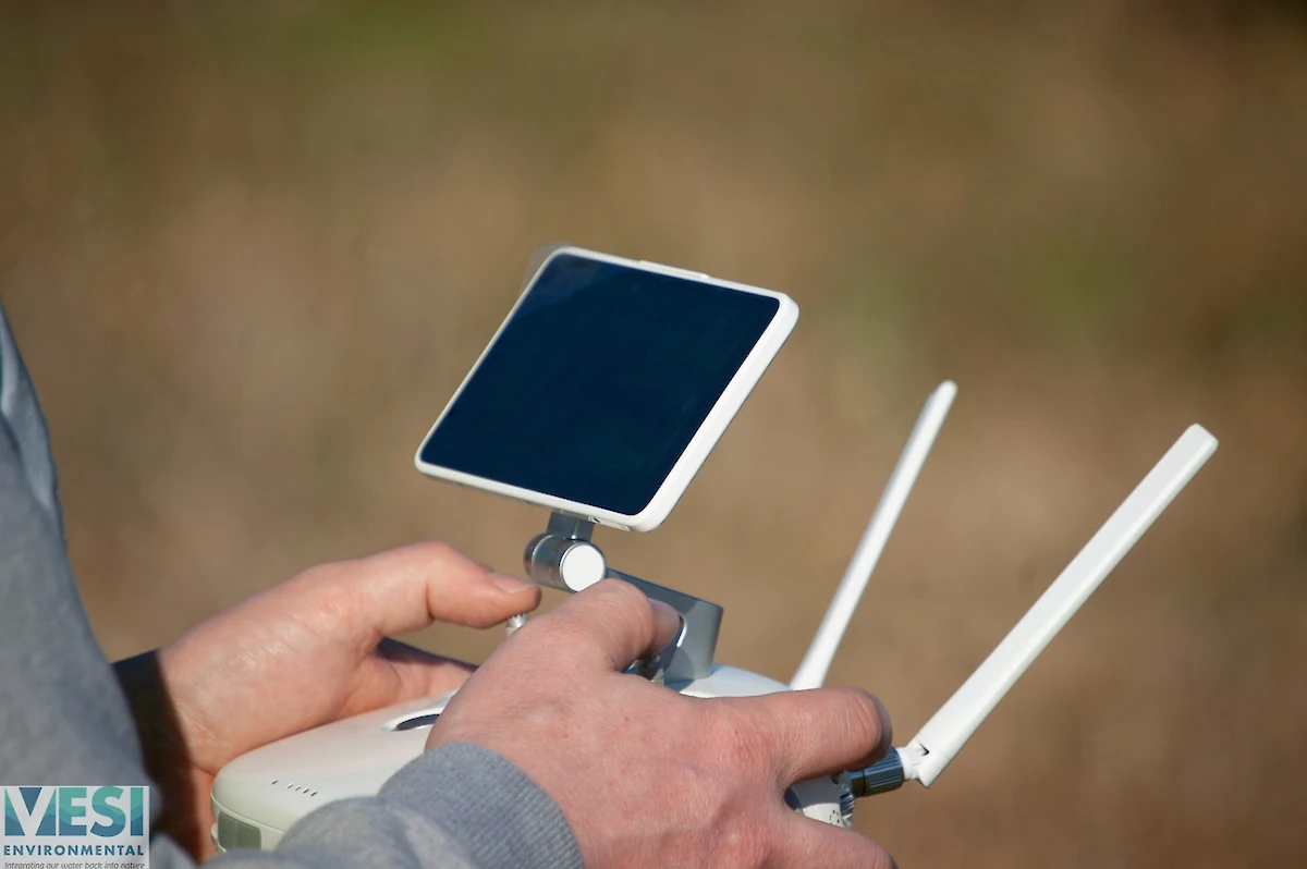
Fully Licensed
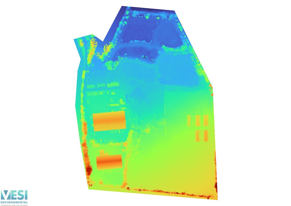
Drone Photogrammetry and Rendering
We provide detailed aerial photogrammetry services for the generation of detailed site models.
Repeatable surveys available for sites where establishment or progression of the site is being tracked
We also provide online hosting and annotation services for survey completed by VESI Environmental.
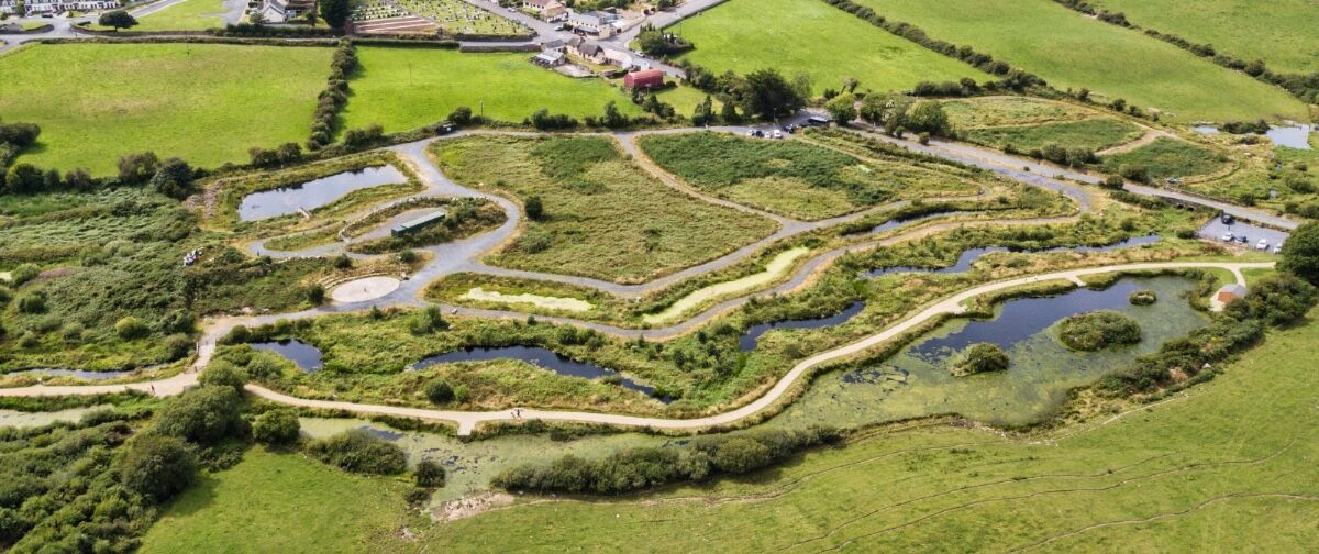
Surveying available for sites from 100sq metres to 40 hectares
Embedded 3D model
Aerial Videography
Site Investigations & Progression